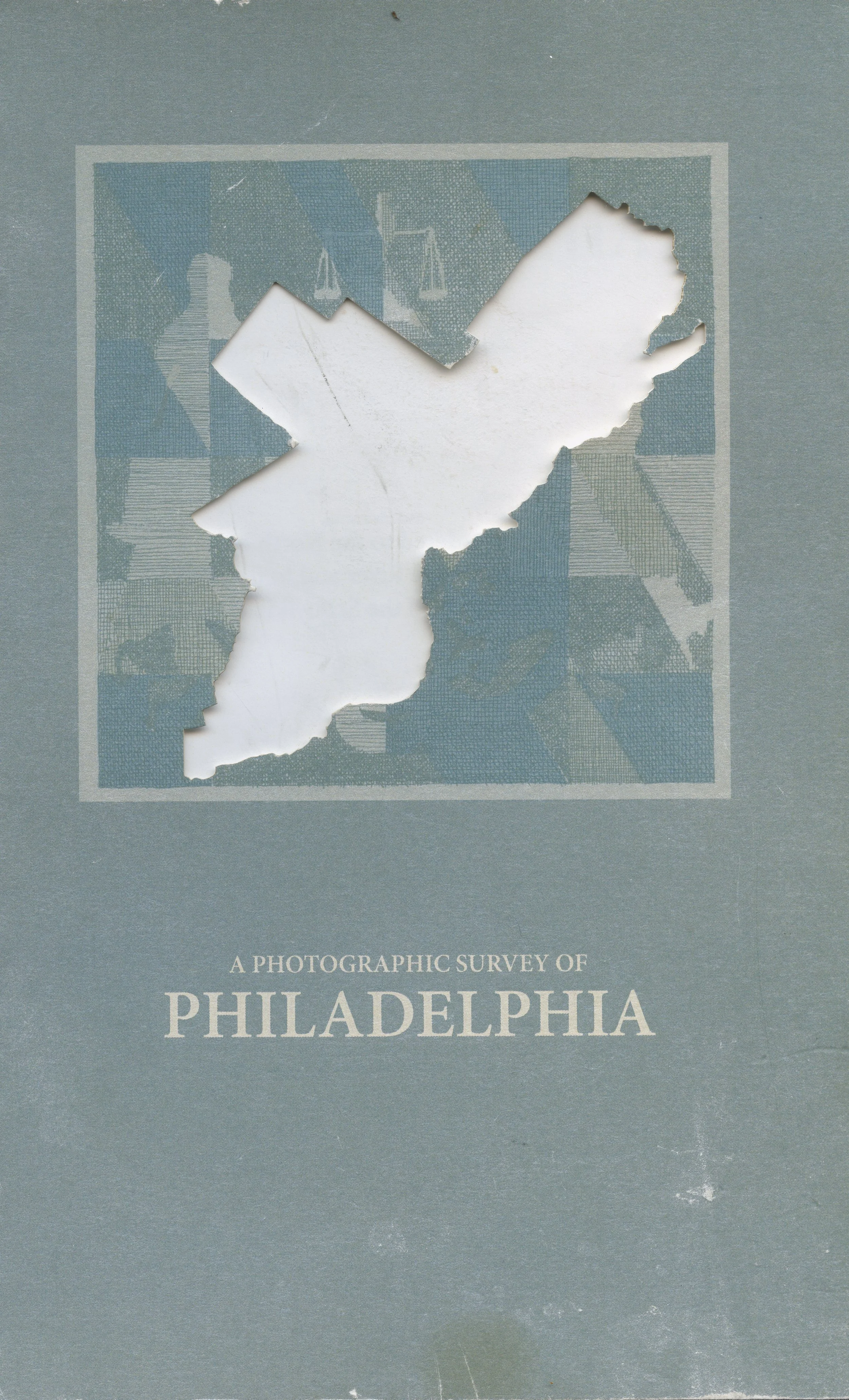
A Photographic Survey of Philadelphia
In 1960, the Philadelphia Planning Commission released its first Comprehensive Plan. This document was a “blueprint for a new kind of city.” It proposed the “organization of residential areas into a system of neighborhoods, communities and districts in order to enhance the local civic identity.”
In this plan, the city was divided into 12 sections: Center City, South, Southwest, West, Lower North, Upper North, Bridesburg-Kensington-Richmond, Roxborough-Manayunk, Germantown-Chestnut Hill, Olney-Oak Lane, Near Northeast and Far Northeast.
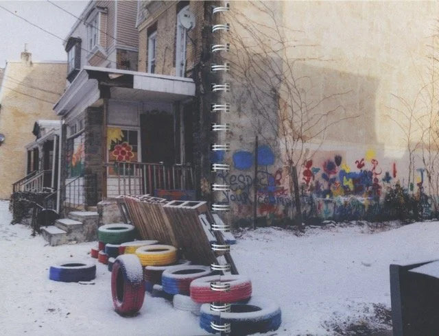
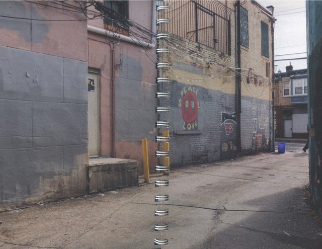
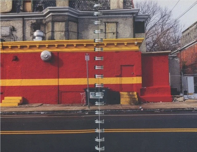
From July 2017 to January 2018, seventeen Philadelphia-based visual artists photographed each section’s unique people and places. The project resulted in a gallery exhibition and book which featured a curated selection of images that provide an expansive and detailed look into everyday Philadelphia.
Philadelphia’s 2018 plan and its future plan, Philadelphia 2035, which was introduced under former Mayor Nutter, divide the city into 18 districts.